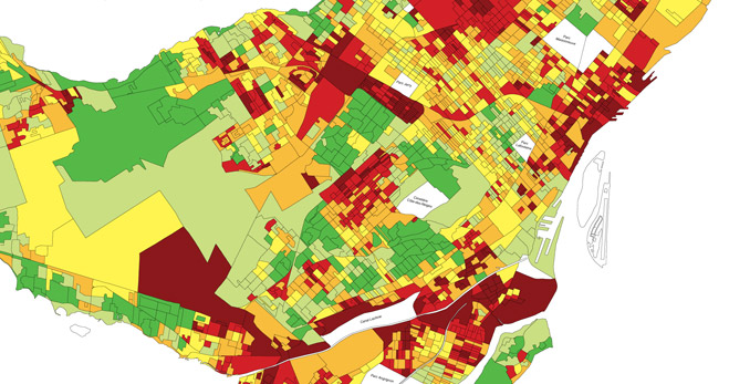
They show the spatial distribution of one or more specific data themes, such as poverty, density of immigrant populations, housing construction characteristics, water quality, predominant crops cultivated, etc. They are typically based on census data and can be used for exploratory spatial data analysis and synthesizing spatial data by revealing patterns and relationships.
This tool can help identify geographic zones vulnerable to hazards such as floods, hurricanes, or fires. The perspective allows for prioritizing preventive measures.
Satellite or drone-based sensor technologies can produce geospatial information based on propagated signals. This sensing can be used to identify and classify objects such as water bodies, buildings, and agricultural plots by type of cultivated crops.


